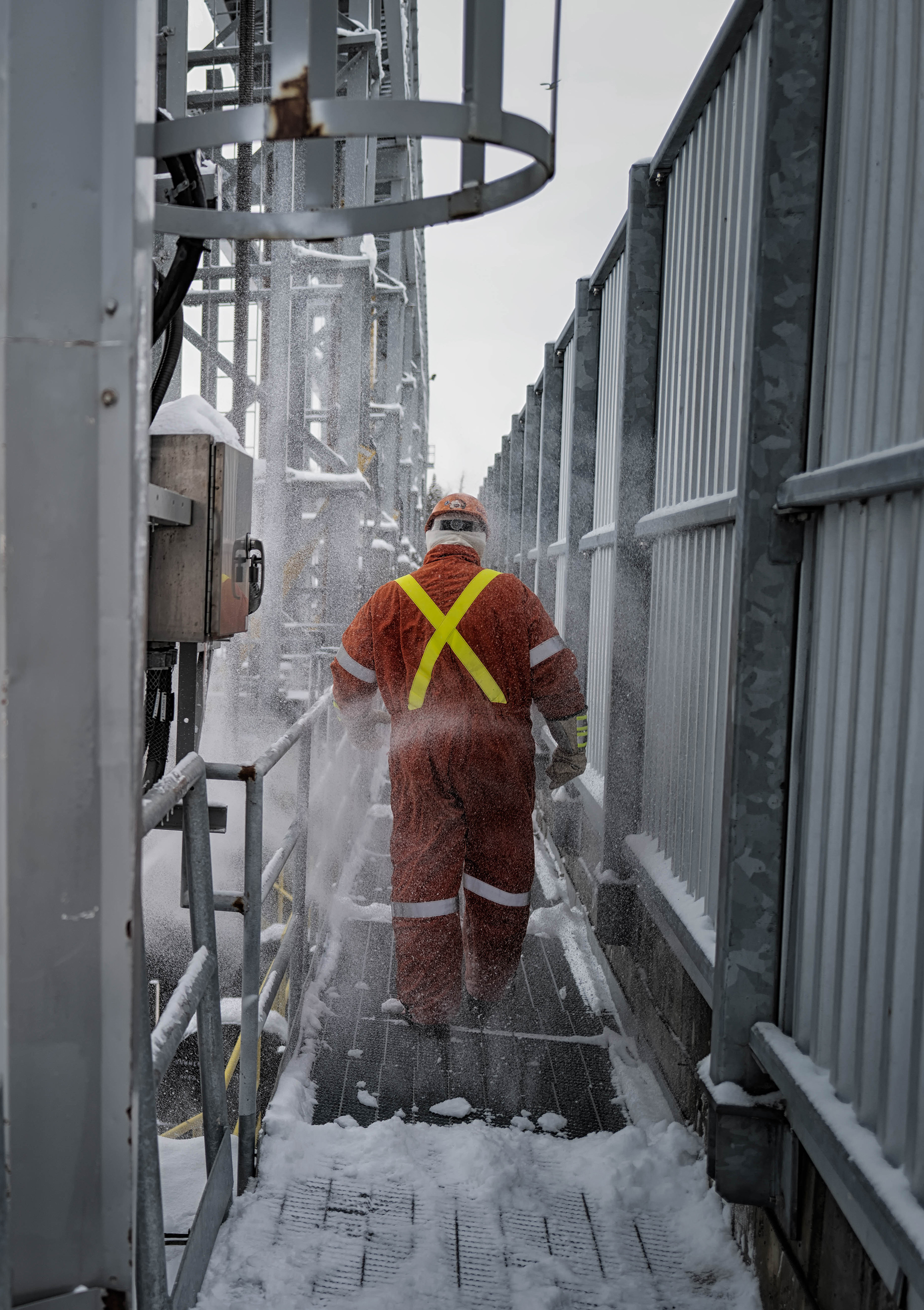
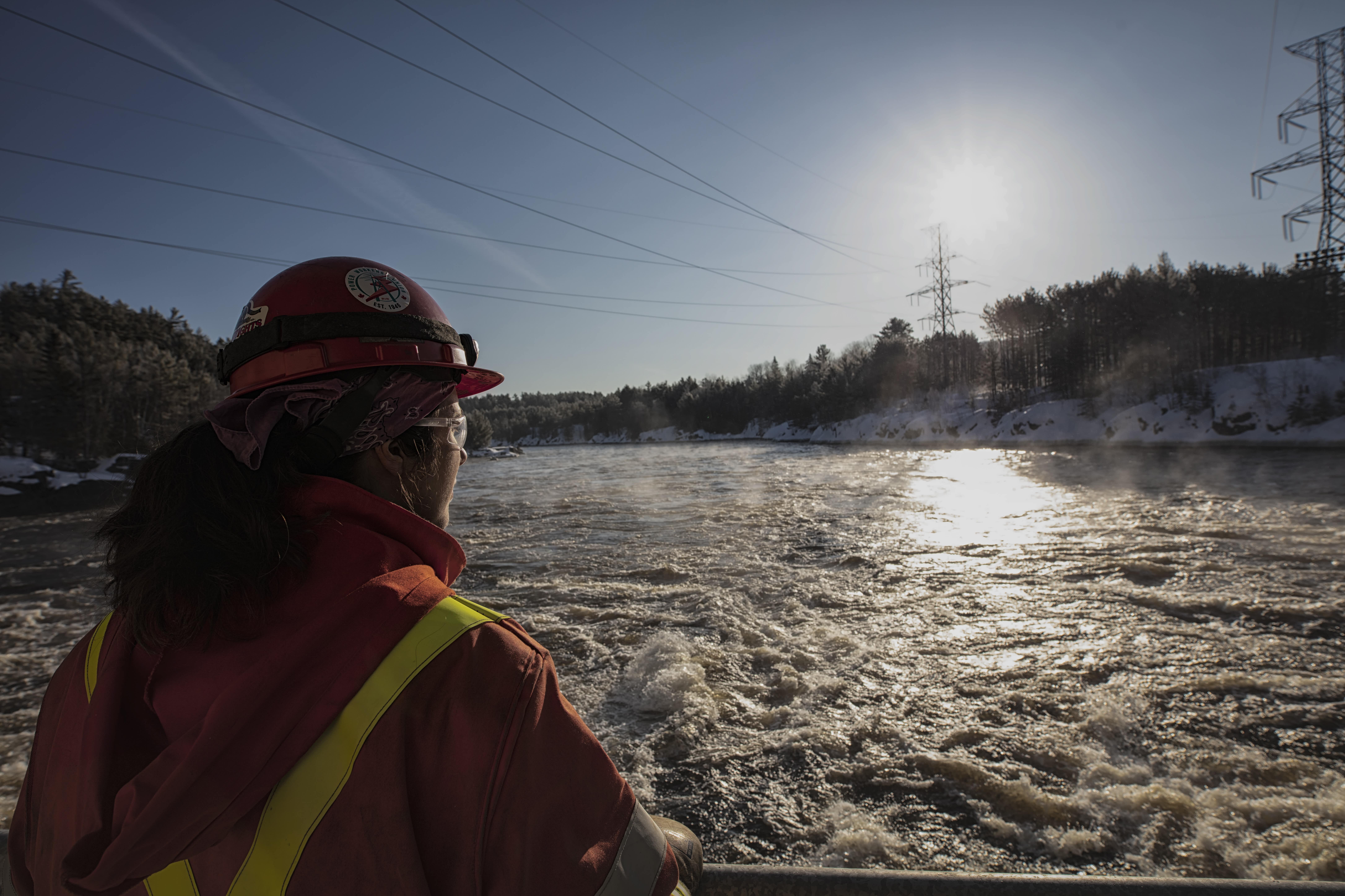
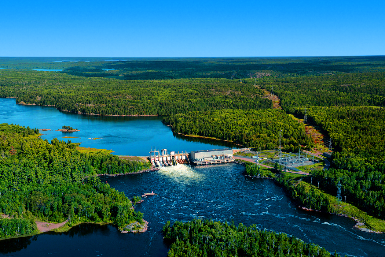
Around hydro stations, dams and surrounding waterways.
Water Levels
River System Data
Ontario Power Generation operates 66 hydroelectric stations and 239 dams on 24 river systems.
WATER LEVELS
Northeast
| Abitibi River | 11/14 | 11/15 | 11/16 | 11/17 | 11/18 | 11/19 | 11/20 | |
|---|---|---|---|---|---|---|---|---|
| Frederick House Lake Control Dam | Level | 274.16 | 274.16 | - | - | 274.14 | 274.13 | - |
| Graphs and Advanced Data | Flow | 39.8 | 40.5 | 38.2 | 39.3 | 39.4 | 39.2 | - |
| Abitibi Canyon Generating Station | Level | 193.60 | 193.17 | 193.19 | 193.50 | 193.09 | 192.82 | - |
| Graphs and Advanced Data | Flow | 196.8 | 161.0 | 121.0 | 137.3 | 186.6 | 186.3 | - |
| New Post Creek Control Dam | Level | 216.60 | 216.55 | 216.55 | 216.58 | 216.60 | 216.62 | - |
| Graphs and Advanced Data | Flow | 0.0 | 0.0 | 0.0 | 0.0 | 0.0 | 0.0 | - |
| Peter Sutherland Sr. Generating Station | Level | 186.70 | 186.69 | 186.71 | 186.73 | 186.75 | 186.73 | - |
| Graphs and Advanced Data | Flow | 16.0 | 15.5 | 15.0 | 14.9 | 15.0 | 15.7 | - |
| Otter Rapids Generating Station | Level | 120.56 | 120.72 | 120.18 | 119.32 | 119.98 | 120.34 | - |
| Graphs and Advanced Data | Flow | 199.4 | 168.1 | 231.5 | 165.8 | 129.9 | 191.2 | - |
| Matabitchuan River | 11/14 | 11/15 | 11/16 | 11/17 | 11/18 | 11/19 | 11/20 | |
|---|---|---|---|---|---|---|---|---|
| Rabbit Lake Control Dam | Level | 290.96 | 290.96 | 290.97 | 290.96 | 290.96 | 290.95 | - |
| Graphs and Advanced Data | Flow | 0.0 | 0.0 | 0.0 | 0.0 | 0.0 | 0.0 | - |
| Matabitchuan Generating Station/Fourbass Lake | Level | 275.03 | 275.00 | 274.98 | 274.96 | 274.94 | 274.93 | - |
| Graphs and Advanced Data | Flow | 3.0 | 2.3 | 2.0 | 1.6 | 1.4 | 1.2 | - |
| Mattagami River | 11/14 | 11/15 | 11/16 | 11/17 | 11/18 | 11/19 | 11/20 | |
|---|---|---|---|---|---|---|---|---|
| Mesomikenda Lake Control Dam | Level | 364.90 | 364.90 | 364.90 | 364.89 | 364.88 | 364.86 | - |
| Graphs and Advanced Data | Flow | 7.2 | 7.1 | 7.1 | 7.0 | 8.3 | 9.6 | - |
| Mattagami Lake Control Dam | Level | - | - | - | 330.96 | 330.96 | 330.95 | - |
| Graphs and Advanced Data | Flow | - | - | - | 33.3 | 33.3 | 33.2 | - |
| Peterlong Lake Control Dam | Level | 341.71 | 341.74 | 341.73 | 341.74 | 341.76 | 341.77 | - |
| Graphs and Advanced Data | Flow | 1.6 | 1.8 | 1.7 | 1.9 | 2.1 | 2.2 | - |
| Wawaitin Falls Generating Station/Kenogamissi Lake | Level | 310.16 | 310.15 | 310.14 | 310.15 | 310.14 | 310.13 | - |
| Graphs and Advanced Data | Flow | 35.5 | 35.6 | 32.8 | 34.8 | 36.3 | 36.1 | - |
| Sandy Falls Generating Station | Level | 269.05 | 269.07 | 269.09 | 269.08 | 269.08 | 269.21 | - |
| Graphs and Advanced Data | Flow | 61.7 | 54.3 | 57.6 | 53.4 | 55.7 | 62.2 | - |
| Lower Sturgeon Generating Station | Level | 258.08 | 258.02 | 258.00 | 258.06 | 258.08 | 258.07 | - |
| Graphs and Advanced Data | Flow | 70.8 | 71.2 | 63.3 | 63.3 | 65.0 | - | - |
| Horwood Lake Control Dam | Level | 334.44 | 334.43 | 334.42 | 334.42 | 334.41 | 334.40 | - |
| Graphs and Advanced Data | Flow | 30.9 | 30.7 | 30.3 | 30.2 | 29.9 | 29.7 | - |
| Little Long Generating Station | Level | 197.37 | 197.36 | 197.45 | 197.54 | 197.50 | 197.44 | - |
| Graphs and Advanced Data | Flow | 293.9 | 124.5 | 124.1 | 209.1 | 269.1 | 268.8 | - |
| Smoky Falls Generating Station | Level | 169.45 | 169.39 | 169.41 | 169.34 | 169.29 | 169.35 | - |
| Graphs and Advanced Data | Flow | 299.6 | 120.0 | 121.6 | 205.9 | 261.7 | 263.0 | - |
| Harmon Generating Station | Level | 134.18 | 134.22 | 134.18 | 134.17 | 134.16 | 134.15 | - |
| Graphs and Advanced Data | Flow | 303.5 | 131.1 | 128.5 | 211.9 | 274.4 | 268.2 | - |
| Kipling Generating Station | Level | 102.04 | 102.01 | 102.02 | 101.95 | 101.95 | 101.95 | - |
| Graphs and Advanced Data | Flow | 308.1 | 127.2 | 123.7 | 209.3 | 264.9 | 260.2 | - |
| Montreal River | 11/14 | 11/15 | 11/16 | 11/17 | 11/18 | 11/19 | 11/20 | |
|---|---|---|---|---|---|---|---|---|
| Mistinikon Lake Control Dam | Level | 319.31 | 319.31 | 319.32 | 319.31 | 319.31 | 319.31 | - |
| Graphs and Advanced Data | Flow | 6.2 | 6.2 | 6.2 | 6.2 | 6.1 | 6.1 | - |
| Chute Generating Station | Level | 295.26 | 295.25 | 295.26 | 295.25 | 295.25 | 295.24 | - |
| Graphs and Advanced Data | Flow | 13.0 | 13.0 | 13.0 | 13.0 | 12.8 | 13.0 | - |
| Lady Evelyn Lake Control Dam | Level | 289.02 | 289.02 | 289.04 | 289.03 | 289.03 | 289.03 | - |
| Graphs and Advanced Data | Flow | 4.7 | 4.7 | 5.3 | 5.1 | 5.0 | 4.9 | - |
| Hound Chute Generating Station | Level | 274.04 | 273.93 | 274.05 | 274.02 | 273.98 | 273.97 | - |
| Graphs and Advanced Data | Flow | 35.8 | 39.5 | 36.8 | 38.5 | 35.2 | 33.7 | - |
| Lower Notch Generating Station | Level | 247.75 | 247.82 | 247.97 | 248.08 | 247.85 | 247.72 | - |
| Graphs and Advanced Data | Flow | 43.5 | 14.5 | 19.5 | 59.5 | 54.1 | 56.6 | - |
| South River | 11/14 | 11/15 | 11/16 | 11/17 | 11/18 | 11/19 | 11/20 | |
|---|---|---|---|---|---|---|---|---|
| Smythe Lake Control Dam | Level | 399.91 | 399.87 | 399.86 | 399.83 | 399.83 | 399.83 | - |
| Graphs and Advanced Data | Flow | 1.0 | 0.9 | 0.9 | 0.5 | 0.3 | 0.3 | - |
| Craig Lake Control Dam | Level | 385.50 | 385.52 | 385.55 | 385.58 | 385.60 | 385.61 | - |
| Graphs and Advanced Data | Flow | 0.2 | 0.2 | 0.3 | 0.4 | 0.5 | 0.5 | - |
| Bray Lake Control Dam | Level | 348.75 | 348.76 | 348.77 | 348.78 | 348.78 | 348.78 | - |
| Graphs and Advanced Data | Flow | 0.0 | 0.0 | 0.0 | 0.0 | 0.0 | 0.0 | - |
| Sausage Lake Control Dam | Level | 383.26 | 383.26 | 383.28 | 383.29 | 383.29 | 383.28 | - |
| Graphs and Advanced Data | Flow | 0.1 | 0.1 | 0.1 | 0.1 | 0.1 | 0.1 | - |
| Elliott Chute Generating Station | Level | 264.12 | 264.04 | 264.01 | 264.02 | 263.93 | 263.84 | - |
| Graphs and Advanced Data | Flow | 8.3 | 8.4 | 8.4 | 8.4 | 7.8 | 7.2 | - |
| Bingham Chute Generating Station | Level | 249.62 | 249.63 | 249.67 | 249.66 | 249.59 | 249.43 | - |
| Graphs and Advanced Data | Flow | 12.8 | 12.8 | 13.3 | 13.1 | 12.4 | 11.1 | - |
| Nipissing Generating Station | Level | 233.29 | 233.30 | 233.33 | 233.33 | 233.31 | 233.25 | - |
| Graphs and Advanced Data | Flow | 9.5 | 9.5 | 10.2 | 10.1 | 9.7 | 8.5 | - |
| Sturgeon River | 11/14 | 11/15 | 11/16 | 11/17 | 11/18 | 11/19 | 11/20 | |
|---|---|---|---|---|---|---|---|---|
| Lake Temagami | Level | 293.49 | 293.48 | 293.50 | 293.49 | 293.49 | 293.49 | - |
| Graphs and Advanced Data | Flow | 1.9 | 1.9 | 2.0 | 2.0 | 1.9 | 1.9 | - |
| Red Cedar Lake Control Dams | Level | 279.17 | 279.20 | 279.23 | 279.26 | 279.28 | 279.29 | - |
| Graphs and Advanced Data | Flow | 5.7 | 6.3 | 6.9 | 7.3 | 7.7 | 8.0 | - |
| Tomiko Lake Control Dam | Level | 243.79 | 243.78 | 243.79 | 243.80 | 243.79 | 243.79 | - |
| Graphs and Advanced Data | Flow | 3.9 | 3.7 | 3.9 | 3.9 | 3.9 | 3.9 | - |
| Crystal Falls Generating Station | Level | 221.58 | 221.50 | 221.47 | 221.43 | 221.40 | 221.39 | - |
| Graphs and Advanced Data | Flow | 31.3 | 31.2 | 31.1 | 31.1 | 31.0 | 26.1 | - |
| Wanapitei River | 11/14 | 11/15 | 11/16 | 11/17 | 11/18 | 11/19 | 11/20 | |
|---|---|---|---|---|---|---|---|---|
| Upper Wanapitei River Gauge | Level | - | - | - | - | - | - | - |
| Graphs and Advanced Data | Flow | 11.4 | 10.8 | 11.4 | 10.9 | 10.6 | 10.6 | - |
| Wanapitei Lake Control Dam | Level | 267.25 | 267.24 | 267.26 | 267.24 | 267.24 | 267.23 | - |
| Graphs and Advanced Data | Flow | 14.2 | 14.0 | 14.6 | 14.1 | 13.8 | 13.6 | - |
| Stinson Generating Station | Level | 254.87 | 254.87 | 254.87 | 254.87 | 254.86 | 254.86 | - |
| Graphs and Advanced Data | Flow | 16.5 | 16.3 | 16.5 | 16.4 | 16.1 | 15.8 | - |
| Coniston Generating Station | Level | 236.68 | 236.71 | 236.93 | 236.83 | 236.84 | 236.84 | - |
| Graphs and Advanced Data | Flow | 14.9 | 12.5 | 13.8 | 14.9 | 13.8 | 13.8 | - |
| McVittie Generating Station | Level | 209.88 | 209.82 | 209.85 | 209.82 | 209.83 | 209.85 | - |
| Graphs and Advanced Data | Flow | 17.1 | 16.1 | 13.3 | 17.7 | 14.8 | 14.2 | - |


River system data
Hydroelectric power is a clean, reliable, and low-cost way to produce the energy Ontario needs.
Ontario Power Generation (OPG) operates 66 hydroelectric stations and 239 dams on 24 river systems. These facilities help produce clean, reliable and low-cost electricity for Ontario.
This site provides information on water levels and flows at OPG hydroelectric facilities. Data is continuously collected using gauges that help safely manage OPG’s stations and dams in watersheds across the province.
