Around hydro stations, dams and
surrounding waterways.

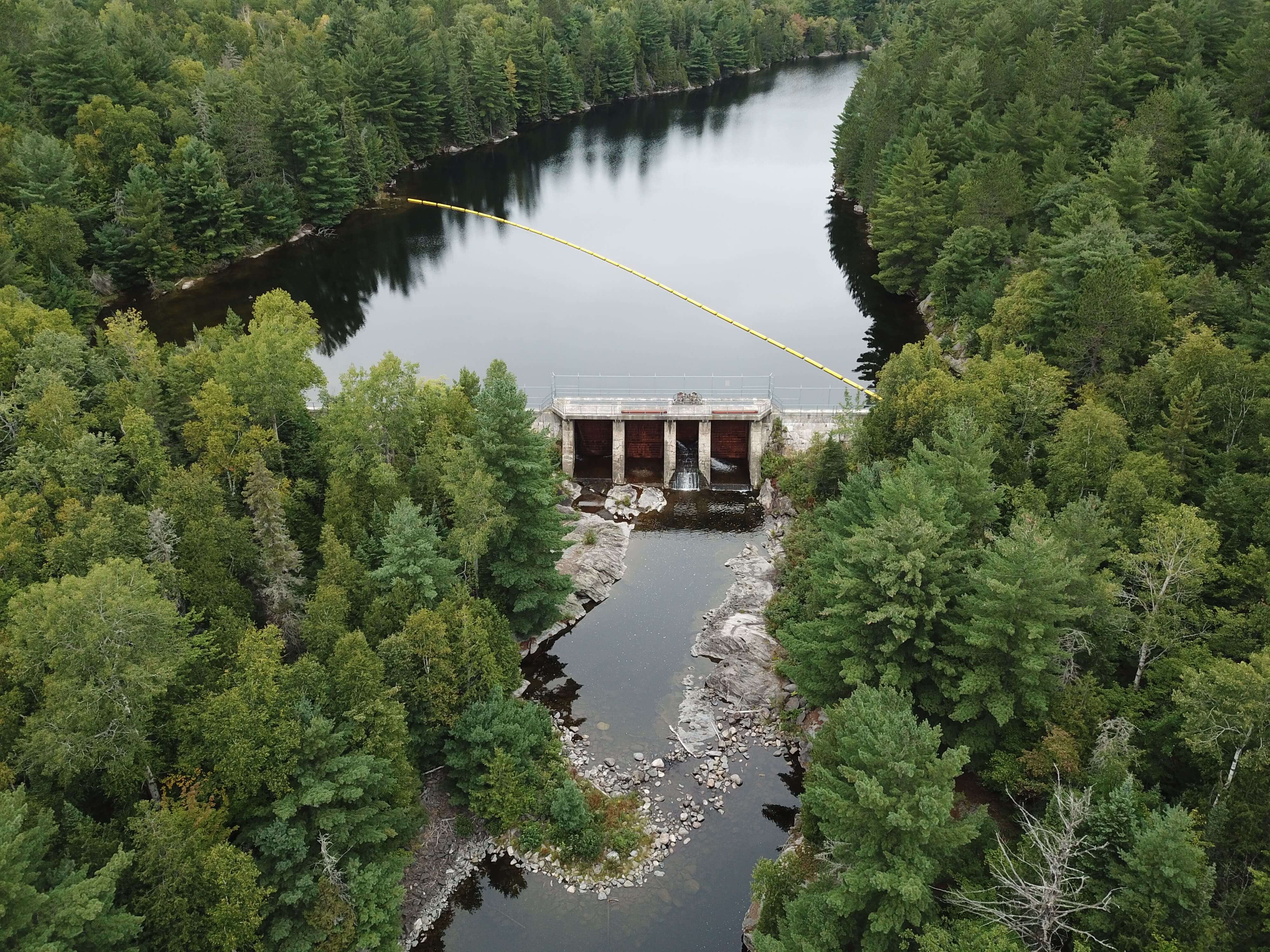
Red Cedar Lake Control Dams
The Red Cedar Lake Control Dams are located on the Sturgeon River System and were constructed in 1938. The north and south concrete control structures each have an associated block dam. These dams impound Red Cedar Lake which is an upper storage reservoir for hydroelectric developments on the Sturgeon River. The dams are located approximately 45 km north of the Town of Sturgeon Falls.
The south control dam consists of two stoplog sluices and a log chute (no longer in operation). The dam was refurbished in 2001 which included upgrades to the bulkhead walls and concrete repair. The north control dam consists of three stoplog sluices and a log chute (no longer in operation).
SCROLL DOWN
Last 7 Days table
| DATE |
WATER LEVEL (m) |
FLOW (m3/s) |
|---|---|---|
| Nov. 20, 2025 | - | - |
| Nov. 19, 2025 | - | - |
| Nov. 18, 2025 | - | - |
| Nov. 17, 2025 | - | - |
| Nov. 16, 2025 | - | - |
| Nov. 15, 2025 | - | - |
| Nov. 14, 2025 | - | - |
Reading Type
no changed
- no date
Ontario Power Generation Provisional Data
Questions? Please visit the site page on water.opg.com
Data current as of 2025-11-21
Data Disclaimer Statement:
The enclosed information is being released to you for reference purposes only. No part of this information may be produced, published, converted or stored in any data retrieval system, or transmitted in any form or by any means (electronic, mechanical, photocopying, recording, or otherwise) without the prior written permission of Ontario Power Generation Inc.
Neither Ontario Power Generation Inc. nor its subsidiaries, employees, officers, directors or agents makes any representation or warranty, express or implied, as to the accuracy or correctness of the enclosed information and disclaims any and all liability for any consequences as a result of, or in any way related to, the reproduction or use of this information in whole or in part.