Around hydro stations, dams and
surrounding waterways.

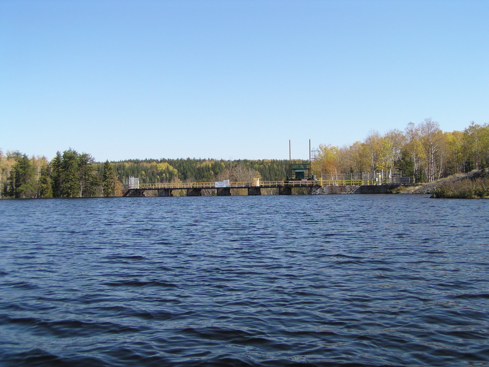
Mistinikon Lake Control Dam
The Mistinikon Lake Control Dam, also known as ‘Big Bend’, is located on the Montreal River at the outlet of Mistinikon Lake, approximately 14.5 km northwest of the town of Matachewan. The dam controls Mistinikon Lake flow into the Montreal River 38 km upstream of Chute GS. Mistinikon Lake Dam is preceded by Duncan Lake Dam on this river system and was originally built in 1922.
SCROLL DOWN
Last 7 Days table
| DATE |
WATER LEVEL (m) |
FLOW (m3/s) |
|---|---|---|
| Nov. 20, 2025 | - | - |
| Nov. 19, 2025 | - | - |
| Nov. 18, 2025 | - | - |
| Nov. 17, 2025 | - | - |
| Nov. 16, 2025 | - | - |
| Nov. 15, 2025 | - | - |
| Nov. 14, 2025 | - | - |
Reading Type
no changed
- no date
Ontario Power Generation Provisional Data
Questions? Please visit the site page on water.opg.com
Data current as of 2025-11-21
Data Disclaimer Statement:
The enclosed information is being released to you for reference purposes only. No part of this information may be produced, published, converted or stored in any data retrieval system, or transmitted in any form or by any means (electronic, mechanical, photocopying, recording, or otherwise) without the prior written permission of Ontario Power Generation Inc.
Neither Ontario Power Generation Inc. nor its subsidiaries, employees, officers, directors or agents makes any representation or warranty, express or implied, as to the accuracy or correctness of the enclosed information and disclaims any and all liability for any consequences as a result of, or in any way related to, the reproduction or use of this information in whole or in part.