Around hydro stations, dams and
surrounding waterways.

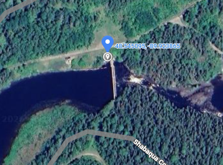
Matawin River Gauge
The Matawin River is a tributary into the Shebandowan River that flows into the larger Kaministiquia River system, within the Great Lakes Basin. The Matawin gauge was installed in 2025 after high water events in 2022 and 2023. The gauge is used to monitor the elevation and flow through the Shebandowan River during times of high water.
SCROLL DOWN
Last 7 Days table
| DATE |
WATER LEVEL (m) |
FLOW (m3/s) |
|---|---|---|
| Jun. 12, 2026 | - | - |
| Jun. 11, 2026 | - | - |
| Jun. 10, 2026 | - | - |
| Jun. 09, 2026 | - | - |
| Jun. 08, 2026 | - | - |
| Jun. 07, 2026 | - | - |
| Jun. 06, 2026 | - | - |
Gauge failed on April 28, 2026
Reading Type
no changed
- no date
Ontario Power Generation Provisional Data
Questions? Please visit the site page on water.opg.com
Data current as of 2026-06-13
Data Disclaimer Statement:
The enclosed information is being released to you for reference purposes only. No part of this information may be produced, published, converted or stored in any data retrieval system, or transmitted in any form or by any means (electronic, mechanical, photocopying, recording, or otherwise) without the prior written permission of Ontario Power Generation Inc.
Neither Ontario Power Generation Inc. nor its subsidiaries, employees, officers, directors or agents makes any representation or warranty, express or implied, as to the accuracy or correctness of the enclosed information and disclaims any and all liability for any consequences as a result of, or in any way related to, the reproduction or use of this information in whole or in part.